NASA and IBM AI Model Maps Rice Fields Across Monsoon Asia at 30-Meter Resolution
Scientists used a NASA and IBM Earth AI model to map rice cultivation across monsoon Asia using satellite data from 2018 to 2023. The 30-meter-resolution dataset could improve estimates of production areas, agricultural water demand and methane emissions.
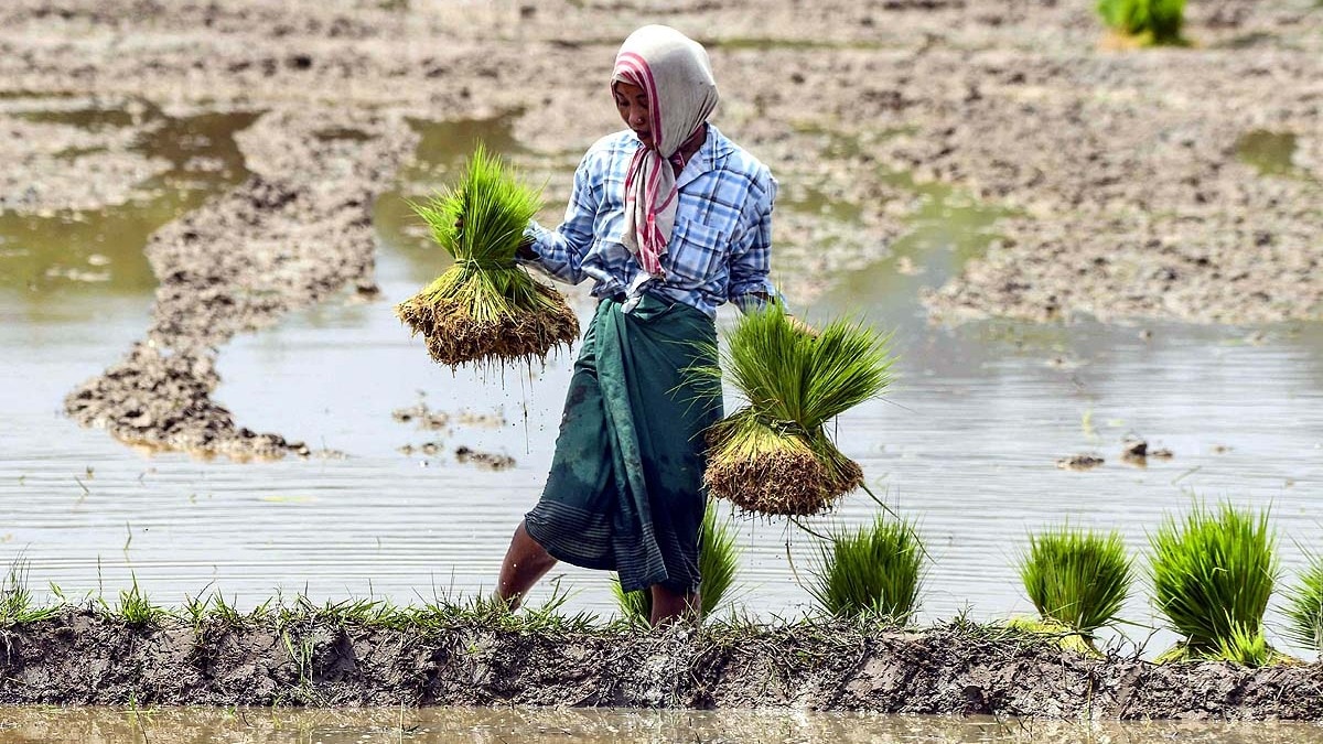
AI identifies rice cultivation across monsoon Asia
Scientists have produced a new map of rice cultivation across monsoon Asia using an Earth artificial intelligence model developed by NASA and IBM, according to Aaj Tak. Built from satellite observations collected between 2018 and 2023, the map identifies rice-growing areas at a spatial resolution of 30 meters.
The project addresses a persistent problem in agricultural monitoring. Rice production across Asia is spread over a vast area and often takes place on small, closely spaced plots that can be difficult to distinguish consistently with conventional regional surveys. Automated analysis of satellite imagery can cover these fields more quickly and apply a common methodology across different locations.
Aaj Tak reports that the map produced average accuracy of about 84%, with results ranging from approximately 83% to 90% in different areas. That performance does not eliminate the need for local verification, but it provides researchers and agricultural agencies with a continent-scale baseline for locating rice fields and tracking changes over time.
Landsat and Sentinel-2 data provide field-level detail
The model used imagery and observations from the Landsat and Sentinel-2 satellite programs to recognize where paddy rice was being cultivated. At 30-meter resolution, the resulting dataset can detect cultivation across relatively small sections of land, an important capability in regions where fragmented farm structures complicate crop-area estimates.
More precise mapping could strengthen estimates of planted area and, when combined with yield and seasonal data, improve assessments of rice production. Governments, processors, traders and investors depend on such estimates when evaluating crop availability, procurement needs and market risk. The map itself does not provide a production forecast, but it offers a more detailed geographic foundation for building one.
The use of data covering 2018 through 2023 also gives researchers a basis for examining how cultivated areas changed during that period. Repeated mapping could help distinguish persistent production zones from places where rice acreage is expanding, contracting or shifting, although Aaj Tak did not provide country-level area figures from the research.
Water use and methane estimates could improve
Rice-field location matters beyond crop measurement because paddy cultivation requires substantial water. Aaj Tak cites an earlier global estimate indicating that rice farming accounts for about 24% to 30% of freshwater used by humans worldwide. Because most of the world's rice is produced in Asia, better field-level information could support more accurate assessments of where irrigation demand is concentrated.
Flooded rice fields are also a source of methane. Scientists estimate that rice fields release about 32 teragrams of methane globally each year, with a large share originating in Asia, according to Aaj Tak. Mapping the location and extent of paddies more precisely could improve emissions calculations and help researchers assess the relationship between cultivation practices, water use and methane output.
For industry participants, the immediate value lies in better visibility rather than a direct change in supply. Producers and policymakers could use the data to target water-management programs, while processors and traders could combine it with weather, yield and harvest information to refine regional supply assessments. Its commercial usefulness will depend on regular updates, validation in individual production regions and integration with other agricultural datasets.