Vietnam Targets a $10 Billion Low-Altitude Drone Economy by 2035
Vietnam’s low-altitude economy could reach about $10 billion and create roughly one million jobs by 2035 if technology, regulation and commercial demand develop together. Agriculture offers the clearest near-term market, while logistics and infrastructure inspection depend on shared test facilities, reliable communications and real-time airspace management.
A market extending beyond drone sales
Vietnam’s emerging low-altitude economy could reach about $10 billion and create roughly one million jobs by 2035, provided that commercial demand, domestic technology and an effective legal framework develop together. The concept covers economic activity conducted mainly below 1,000 metres, using unmanned aerial vehicles, other small aircraft, communications networks, data platforms and air-traffic management systems.
The narrower Vietnamese drone market is forecast to grow from about $140 million in 2025 to more than $445 million in 2034. The difference between that estimate and the broader $10 billion projection reflects the much larger ecosystem surrounding each aircraft: batteries, sensors, cameras, control software, digital maps, maintenance, training, insurance, telecommunications, operating centres and flight services.
Agriculture leads commercial deployment
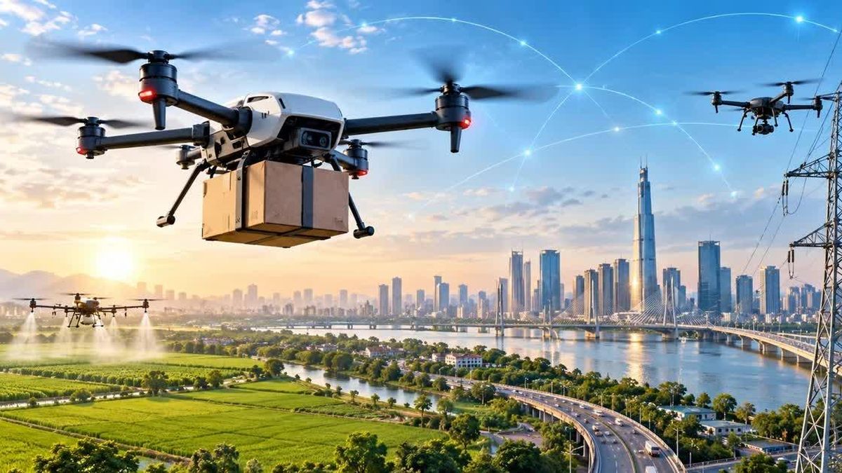
Agriculture appears to offer the fastest route to commercial scale. UAVs can spray pesticides, apply fertiliser, sow seed, photograph crops and collect field data over large areas. These functions are increasingly relevant as agricultural labour becomes scarcer and producers face greater pressure to apply crop-protection products accurately. Instead of buying aircraft, farms can purchase spraying services by the hectare, giving operators a recurring revenue model while lowering customers’ upfront costs.
Other sectors are testing a similar service-based approach. Electricity and telecommunications companies can contract UAV inspections of power lines, towers and hard-to-reach structures and pay by kilometre. Urban applications include construction surveys, mapping, environmental monitoring and traffic observation, while emergency services can send thermal cameras into dangerous areas before personnel enter.
Logistics is another potential market, especially where rivers, sea crossings, mountains or difficult terrain make surface transport slow. In February 2026, an autonomous postal UAV covered more than 12 kilometres between Cần Giờ and Vũng Tàu in about 15 minutes. A controlled programme in Điện Biên is targeting around 6,000 UAV flights for agriculture, cargo transport, healthcare and services in remote areas.
Domestic value depends on technology ownership
The commercial question is not only how many drones Vietnam will operate, but how much of the value chain domestic companies can retain. Reliance on imported motors, sensors, chips, cameras, flight operating systems and data platforms would limit local value capture. Domestic control of design, software, artificial intelligence, communications equipment and selected components could instead create demand for Vietnam’s electronics, semiconductor and digital-technology industries. UAVs have already been included among the country’s strategic technology products.
Vietnamese companies can research and manufacture multiple UAV components, but moving from a laboratory prototype to an approved commercial aircraft remains costly. Products must be tested for signal loss, strong wind, rain, weak batteries, motor failures, GPS outages, changing altitude, beyond-visual-line-of-sight operation and unexpected obstacles. Shared test centres equipped with radar, telecommunications, positioning and safety-monitoring systems could shorten development from years to months and prevent each startup from building its own facility.
Regulation must scale with traffic
Commercial growth will require more than individual flight permits. Thousands of simultaneous urban flights would need allocated radio frequencies, interference protection, continuous connectivity, electronic aircraft identities and recorded routes. Regulators must also define operating altitudes, delivery corridors, no-fly zones, pilot responsibilities, insurance rules, liability for collisions or property damage, protection of images collected over homes and responses to remote hijacking.
Vietnam has introduced rules covering UAV research, manufacturing, testing, registration and operation, while some local authorities have started using regulatory sandboxes. At larger scale, the country may need an automated, real-time unmanned traffic-management network capable of locating each aircraft, tracking its direction and detecting conflicts. The $10 billion opportunity therefore depends on turning low-altitude airspace into managed infrastructure that businesses, regulators and customers can use safely and repeatedly.